South Korea’s best mountain destination depends on what you want from the trip. Choose Seoraksan for dramatic granite scenery, Hallasan for the country’s highest summit, Jirisan for serious long-distance hiking, Bukhansan for easy access from Seoul, Naejangsan for autumn color, or Odaesan for gentler forest and temple walks. These choices are based on landscape, accessibility, route variety, seasonal appeal, and suitability for international visitors rather than a single subjective ranking.
Information on trail controls, reservations, and visitor services was verified on June 11, 2026. Mountain conditions can change within hours, so always check the official park website again on the morning of your hike.
At a glance
| Destination | Best for | Typical visit | Main base | Difficulty range |
|---|---|---|---|---|
| Seoraksan | Granite peaks and major scenery | 1–2 days | Sokcho | Easy walks to expert routes |
| Hallasan | Reaching Korea’s highest summit | 1 full day | Jeju City or Seogwipo | Moderate to strenuous |
| Jirisan | Long routes and multi-day hiking | 2–4 days | Gurye, Namwon, or Sancheong | Moderate to expert |
| Bukhansan | A mountain day trip from Seoul | Half or full day | Seoul | Easy foothill paths to strenuous peaks |
| Naejangsan | Autumn foliage and accessible scenery | 1 day | Jeongeup | Easy to moderate |
| Odaesan | Forest paths, temples, and quieter walks | 1–2 days | Jinbu or Pyeongchang | Easy to strenuous |
1. Seoraksan: Best for dramatic mountain scenery
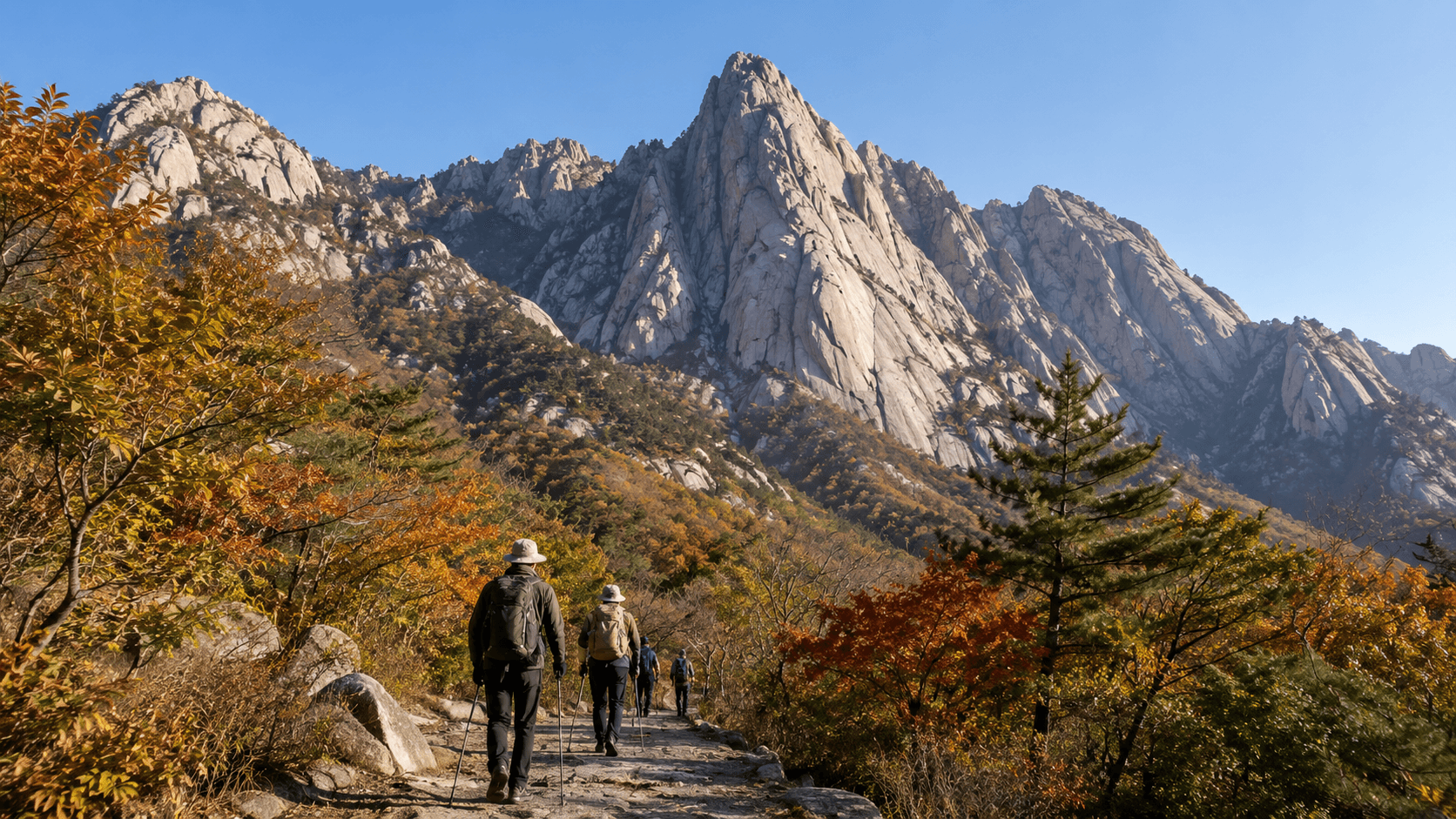
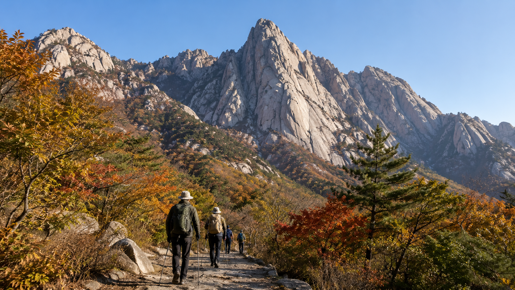
Seoraksan (설악산) in Gangwon Province is the strongest all-round choice for visitors who want steep granite formations, wooded valleys, waterfalls, temples, and routes ranging from short walks to demanding summit hikes. The eastern side of the park is commonly approached through Sokcho and the Seorak-dong entrance.
First-time visitors do not need to climb Daecheongbong, the main summit, to appreciate the landscape. The routes around Sinheungsa Temple, Biseondae, Biryong Falls, and Heundeulbawi offer shorter alternatives. Ulsanbawi provides a more strenuous half-day or full-day objective, with a long staircase and exposed viewpoints near the top.
Daecheongbong and the high ridges require an early start, appropriate footwear, and careful route planning. Do not treat the famous Dinosaur Ridge as an ordinary sightseeing trail: it is a long, technically demanding mountain day for experienced hikers. The Korea National Park Service, or KNPS, classifies routes from easy to expert according to slope, surface, distance, and expected duration. Check the official Seoraksan course and control page before choosing a trail.
Practical planning
- Stay in Sokcho if you want an early start without relying on a same-day intercity journey from Seoul.
- Confirm which park entrance your route uses. Seoraksan covers several districts, and trailheads can be far apart by road.
- Expect heavy traffic during peak autumn foliage periods and on clear weekends.
- Carry food and water for higher routes; facilities become limited after leaving the main entrance area.
- Check separately whether a route requires advance booking. For example, KNPS posted an updated reservation notice for the Heullimgol route in June 2026.
2. Hallasan: Best for a major summit on Jeju Island
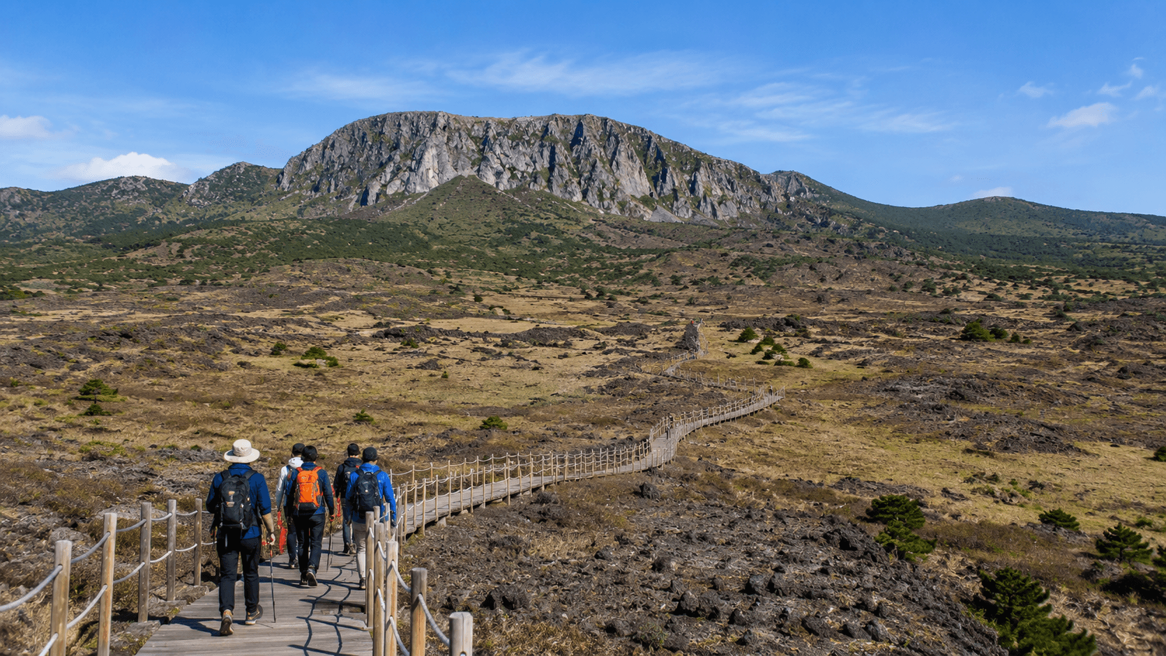
Hallasan (한라산) rises from the center of Jeju Island and is South Korea’s highest mountain. Its summit area is reached through the Seongpanak or Gwaneumsa trails. Both are long routes, and a summit attempt normally occupies most of the day.
Seongpanak is generally the more gradual approach, while Gwaneumsa is steeper and more visually dramatic. Fit hikers sometimes ascend by one and descend by the other, but this creates a transport problem because the trailheads are separate. Plan your return bus or taxi before starting rather than assuming that you can retrieve a parked car easily.
As verified on June 11, 2026, the official Hallasan reservation system accepts reservations for Seongpanak and Gwaneumsa and provides an English interface. A booking does not guarantee summit access in unsafe weather. Rangers can restrict entry or apply time cutoffs during the day.
Visitors who do not want a full summit hike can use shorter trails such as Eorimok, Yeongsil, Donnaeko, or Eoseungsaengak, depending on current access. These routes offer volcanic terrain and highland scenery without committing to the longest summit courses.
Practical planning
- Reserve the correct date and trail, and keep the confirmation available on your phone.
- Take your passport or another accepted form of identification in case reservation details are checked.
- Start early. Official entry and turnaround cutoffs vary by season and conditions.
- Carry enough water and food for a full day; do not expect a restaurant near the summit.
- Bring a waterproof outer layer. Weather at elevation can differ sharply from conditions on the Jeju coast.
- Check the Jeju provincial Hallasan trail information immediately before departure.
3. Jirisan: Best for long-distance and multi-day hiking
Jirisan (지리산) is the most suitable destination for travelers who want an extended mountain journey rather than a single viewpoint. The national park spans a large area across the southern part of the country, with access from several counties and towns. Cheonwangbong is its highest peak, but valleys, ridges, temples, and shorter day routes make the park worthwhile even without a summit attempt.
The park’s scale is the main planning challenge. Gurye, Namwon, Sancheong, Hamyang, and Hadong can all function as gateways, but they do not serve the same trails. Search for the exact trailhead in Korean and confirm the first and last local bus before booking accommodation.
Experienced hikers can plan ridge routes using mountain shelters. Shelter spaces are limited and must be booked through the KNPS reservation system. The system lists shelters, campsites, selected reservation-only trails, and visitor programs. As verified on June 11, 2026, KNPS requires users to complete payment before a facility reservation is confirmed.
For a less complicated visit, consider a day route around Nogodan, Piagol Valley, Baemsagol Valley, or one of the park’s major temples. Exact access can change during fire-prevention closures, heavy rain, snow, or wildlife management operations. Use the official Jirisan park page for current notices.
Practical planning
- Build the trip around one specific district rather than treating Jirisan as a single trailhead.
- Reserve shelters before arranging a ridge traverse.
- Do not plan to camp outside designated facilities.
- Download an offline map and save the Korean names of your trailhead and destination.
- Allow extra time for local transport, particularly on weekends and outside peak seasons.
4. Bukhansan: Best mountain day trip from Seoul
Bukhansan (북한산) is the practical choice for travelers who want a substantial hike without leaving the Seoul metropolitan area. Granite peaks rise directly above northern Seoul, and different entrances can be reached by combinations of subway, light rail, and local bus.
Baegundae, the park’s highest peak, is the classic objective. The final approach includes steep rock and metal handrails, so it can feel more demanding than its elevation suggests. It also becomes congested on fine weekends. Dobongsan, the Bukhansanseong area, and the lower Bukhansan Dulle-gil paths provide alternatives for different fitness levels.
The park is large enough that entering on the wrong side can disrupt your day. Decide on a named route first, then navigate to its trailhead. The official Bukhansan park page provides course information and control notices.
International visitors can also use the Seoul Hiking Tourism Center near Bukhansan Ui Station. As verified on June 11, 2026, the center lists hiking information, lockers, a visitor lounge, and reservable gear rental. Its published hours were 09:00–18:00, with Monday and specified holiday closures; confirm these hours before visiting.
Practical planning
- Avoid the Baegundae summit route at peak weekend times if you dislike queues or narrow, crowded sections.
- Wear shoes with reliable grip; polished granite becomes slippery after rain or in freezing weather.
- Carry water even though shops and restaurants are available near several entrances.
- Check your descent route before reaching the summit. Trails can finish in a different neighborhood or city district.
- For a gentler outing, use one or more sections of the Bukhansan Dulle-gil instead of climbing a peak.
5. Naejangsan: Best for autumn foliage
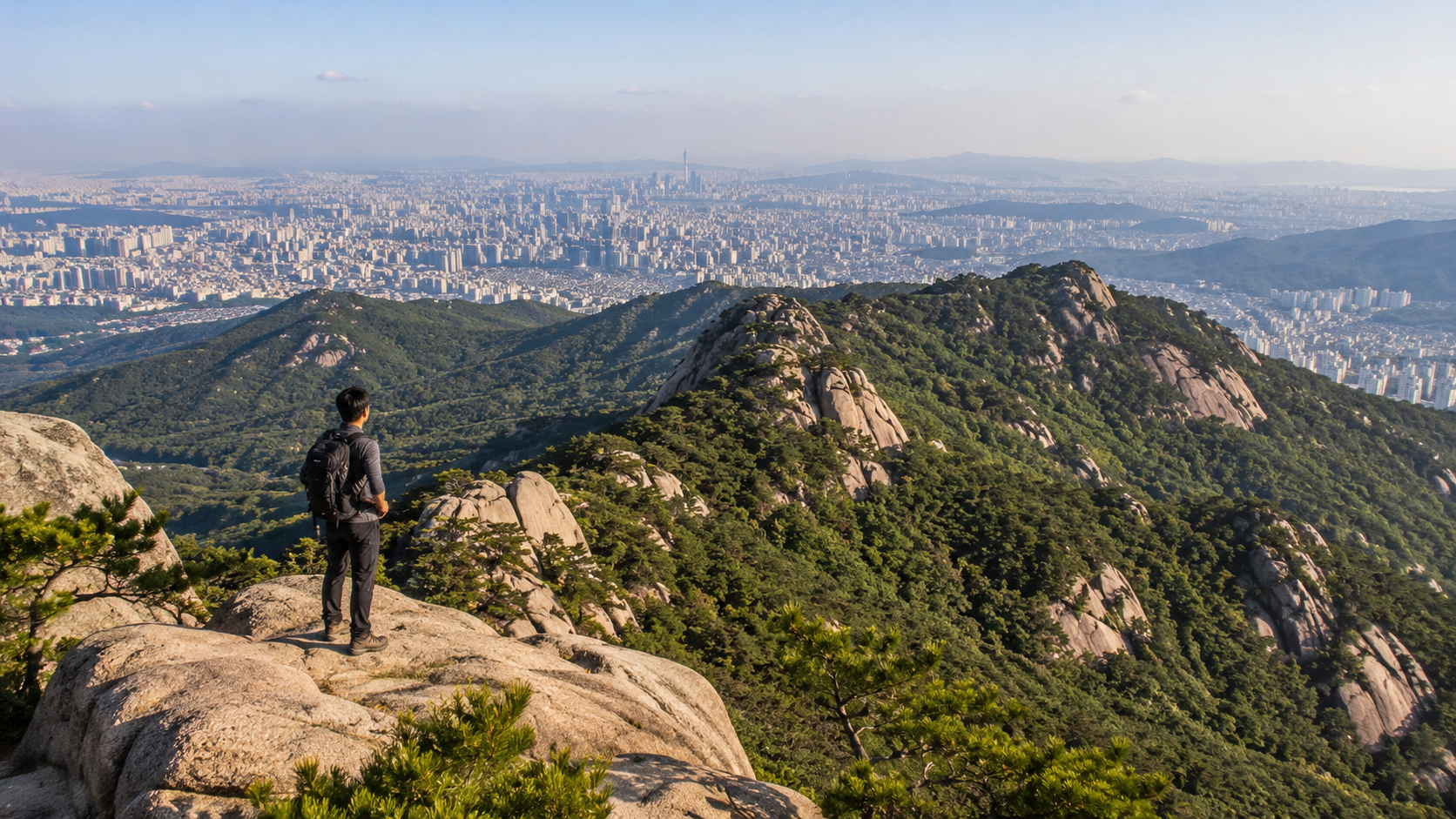
Naejangsan (내장산) is especially well suited to travelers whose priority is autumn color rather than a difficult summit. The approach to Naejangsa Temple, forest roads, ponds, and nearby viewpoints creates a concentrated foliage experience with options for relatively easy walking.
The tradeoff is popularity. During the peak foliage period, roads, buses, and walking routes can become extremely busy. Autumn timing also varies from year to year, so do not rely on a fixed week based on old photographs or blog posts. Check current park images, weather, and local foliage reports shortly before traveling.
More active visitors can extend the day onto ridge trails, but fallen leaves may hide loose stones or uneven ground. The official Naejangsan park page publishes course information and temporary controls.
Practical planning
- Jeongeup is the usual rail and bus gateway for travelers arriving from Seoul or other major cities.
- Start early during autumn and avoid bringing large luggage to the park.
- Expect queues for local transport and attractions during peak foliage weekends.
- Confirm cable-car operation directly with the operator on the day; wind, maintenance, and crowd controls may affect service.
- Visit outside peak foliage season for quieter temple and forest walks.
6. Odaesan: Best for forests, temples, and a slower mountain visit
Odaesan (오대산) is a useful alternative for travelers who prefer deep forest, cultural sites, and flexible walking over exposed granite summits. Woljeongsa Temple and the fir-tree forest road are the most accessible introduction. Sangwonsa and routes toward Birobong provide progressively more demanding options.
This is also a good destination for a mixed group in which not everyone wants a strenuous climb. Some visitors can explore the temple and forest areas while stronger hikers continue onto higher trails. The atmosphere is generally less urban than Bukhansan and less focused on a single landmark than Seoraksan.
Public transport requires more preparation. Jinbu, served by KTX trains on the Gangneung line, is a common gateway, but onward bus frequency can be limited. Confirm connections with an official transport source for your travel date. See the official Odaesan park page for routes and park notices.
Practical planning
- Separate the names Woljeongsa, Sangwonsa, and Birobong when searching maps; they are different points within the park.
- Check the last bus before beginning a long walk.
- Carry cash or a Korean payment card as a backup for small local buses or businesses.
- In winter, expect snow and ice even when nearby towns have clear roads.
- Ask before photographing ceremonies or worshippers inside temple grounds.
Choosing by season
Spring
Lower forest and temple routes are usually more practical than high ridges early in the season. Mountain weather can remain cold, and national parks may close selected trails during the spring fire-prevention period.
Summer
Start early to reduce heat exposure. Korea’s summer monsoon can bring intense rain, slippery rock, swollen streams, and sudden closures. Avoid ridges during thunderstorms.
Autumn
Seoraksan and Naejangsan are major foliage destinations, while Bukhansan offers an easier autumn day from Seoul. Expect congestion, sold-out accommodation, and slower transport on peak weekends.
Winter
Hallasan, Seoraksan, Odaesan, and Jirisan can require microspikes, insulated clothing, and winter hiking experience. Do not copy a summer itinerary without checking seasonal entry deadlines and trail conditions.
Costs, payment, and facilities
Costs depend more on transport and optional services than on the hike itself. Intercity trains or buses, local transfers, parking, cable cars, equipment rental, temple facilities, campsites, and mountain shelters may charge separately. Because these amounts and payment rules can change, confirm them with the relevant operator when booking.
Card payment is widespread in Korea, but a small amount of KRW cash is useful in rural areas. Do not assume that foreign-issued cards will work in every Korean reservation system. Book accommodation near the trailhead when an early entry cutoff makes a same-day journey risky.
Toilets, food outlets, and water points are concentrated around entrances, temples, shelters, and visitor centers. They are not guaranteed on exposed ridges or remote routes. Take your rubbish back with you.
What to check before you go
Use this checklist the evening before and again on the morning of your hike:
- Live trail-control status on the KNPS or Hallasan website
- Weather at the mountain, not only in the nearest city
- Reservation confirmation for Hallasan, shelters, campsites, or controlled trails
- Seasonal entry deadline and expected sunset time
- Exact Korean name and location of the trailhead
- Last return bus, cable car, or other transport service
- Water, food, charged phone, and an offline map
- Rain protection, warm layer, and suitable footwear
- Microspikes and winter equipment when ice or snow is possible
- A route that everyone in the group can complete safely
KNPS maintains a central page for live park controls, weather, maps, and trail searches. National-park rules prohibit leaving designated trails and restrict activities such as unauthorized camping, cooking, smoking, and bringing pets into protected areas. Follow signs and ranger instructions even when a map or older online guide shows the route as open.
Frequently asked questions
Which Korean mountain is easiest to visit from Seoul?
Bukhansan is the most convenient substantial mountain destination within Seoul. Inwangsan and Bugaksan are shorter urban alternatives, but Bukhansan provides a wider choice of national-park routes.
Do I need a reservation to hike in Korea?
Most ordinary day trails do not require a reservation, but important exceptions exist. As verified on June 11, 2026, Hallasan uses reservations for the Seongpanak and Gwaneumsa summit approaches. KNPS also operates reservations for shelters, campsites, selected trails, and programs. Check the exact route rather than assuming that every trail follows the same rule.
Can beginners hike these mountains?
Yes, if they select an appropriate route. Every destination in this guide has options below its hardest summit course. Trail length alone is not enough to judge difficulty: steep stairs, wet granite, heat, ice, and transport deadlines can make a short route demanding.
Are Korean mountain signs available in English?
Major national parks often include English or romanized place names on key signs, but coverage is inconsistent. Save the Hangul name of your trailhead, destination, and return transport stop.
Sources
- Korea National Park Service main portal
- KNPS reservation system
- Hallasan Visit Reservation System
- Official Seoraksan National Park page
- Official Jirisan National Park page
- Official Bukhansan National Park page
- Seoul Hiking Tourism Center
Choose the mountain first, then select a named route that matches your available daylight, transport, and experience. The next practical step is to open the official course map and check live controls before booking your accommodation or onward travel.